Instagram Linkedin Youtube Bluesky Threads
  • Home
  • GD3D CityEngine Training & Services
  • About
    • About GeoPlanIT
    • Disclaimer & Privacy thing
Search
Friday, November 13, 2026
Instagram Linkedin Youtube Bluesky Threads
Sign in
Welcome! Log into your account
Forgot your password? Get help
Password recovery
Recover your password
A password will be e-mailed to you.
GeoPlanIT
  • Home
  • GD3D CityEngine Training & Services
  • About
    • About GeoPlanIT
    • Disclaimer & Privacy thing
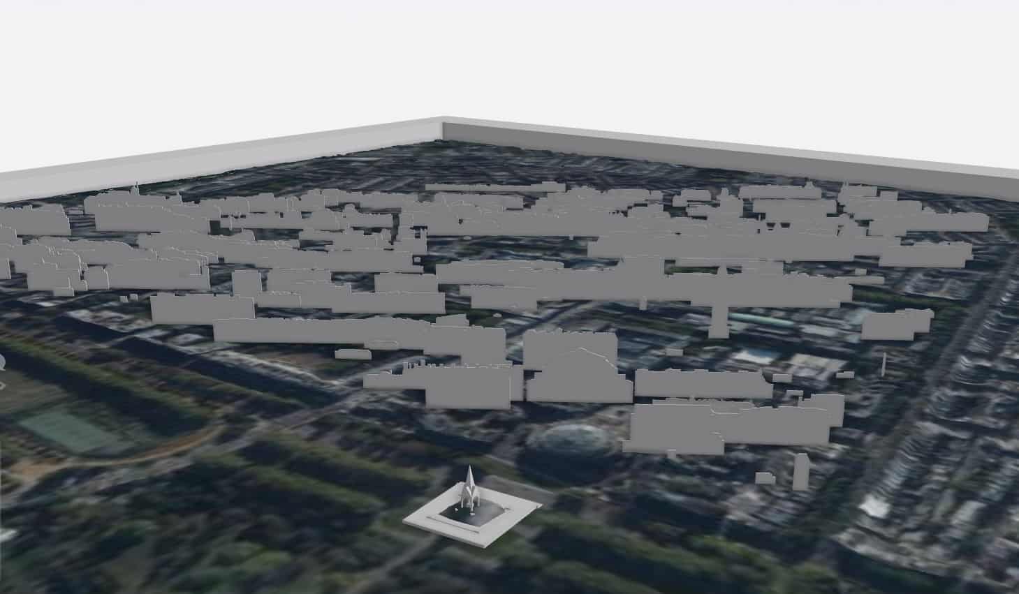
Home RealUrban3D London data, OS OpenData & OpenStreetMap data playing nice in ArcScene & CityEngine what_albert_saw_2_view

what_albert_saw_2_view

ArcMap_OSOpendataRoads_OpenStreetMapBuilding_RealUrban3DLondon
what_albert_saw_2_osm
ABOUT US
The pages and posts on this site are shared under CC BY 4.0. Copy it, quote it, adapt it: just credit Elliot Hartley and link back to GeoPlanIT (geoplanit.co.uk). If it's useful to you, I'd genuinely rather it get read and shared than locked away. Just don't pass it off as your own, and don't let an AI train on it without asking first. Geography Planning Information Technology, a blog about ArcGIS CityEngine, Geodesign, planning, 3D GIS, and 3D scanning with an iPhone from the Managing Director of GD3D. Follow me on Mastodon
Contact us: info@geoplanit.co.uk
FOLLOW US
Instagram Linkedin Youtube Bluesky Threads
© Copyright GD3D and GeoPlanIT 2025 - https://www.geoplanit.co.uk
Follow me on Mastodon